Middle East
Explore the Middle East through geography quizzes covering countries, capitals, borders, and major physical features. These quizzes help you build map awareness and regional context across Southwest Asia and North Africa.
Quizzes
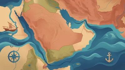
Middle East: seas, gulfs, and straits
Test your map sense across the Middle East’s key waterways, from busy straits to wide gulfs and bordering seas. Identify where each feature sits and which countries it touches. With mixed difficulty, you’ll get a blend of quick wins and deeper geography checks.
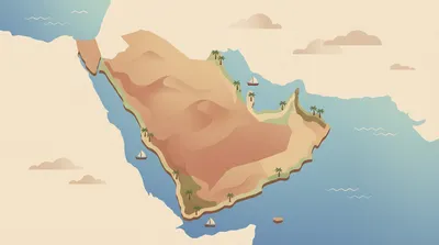
Middle East: peninsulas and coastal plains
Trace the Middle East’s shoreline from rugged peninsulas to low-lying coastal plains. This mixed-difficulty quiz checks your map sense and regional geography, with questions that range from broad locations to finer coastal details. Pick your question count and difficulty, then learn as you go.
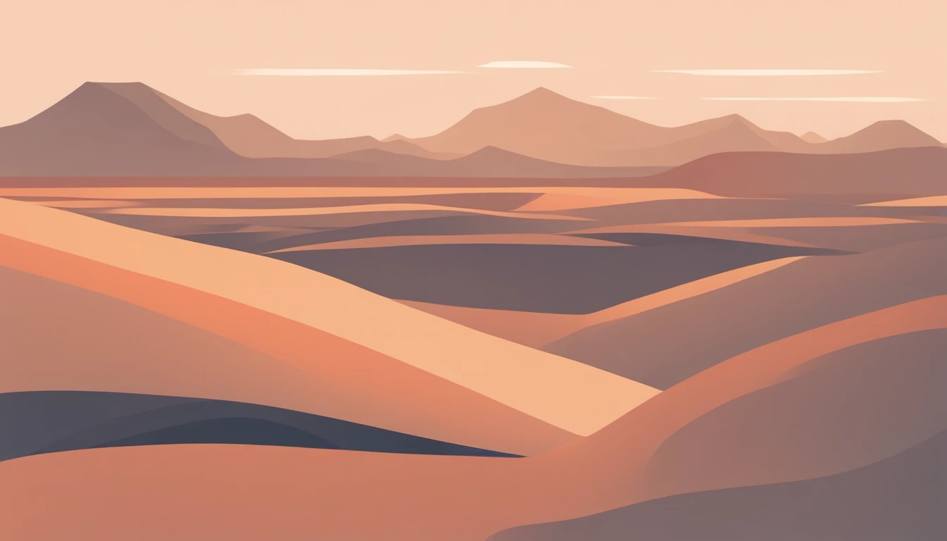
Middle East: deserts and arid regions
Test your knowledge of the Middle East’s deserts and arid regions—from vast sand seas to rocky plateaus and salt flats. Questions cover where these landscapes are found, how they form, and why they matter for people, climate, and travel. Choose your preferred question count and difficulty, then play at your own pace with no timer.
What you'll find here
- Curated quizzes focused on Middle East
- Difficulty spread from easy to hard
- Randomized questions with instant feedback
- Quizzes you can replay and compare on the leaderboard
See this category in other languages
Category FAQ
How many quizzes are available?
There are 3 quizzes with 344 questions total.
Do these Middle East quizzes have a timer?
No. There is no timer, so you can answer at your own pace.
How are the questions formatted?
Each question is multiple-choice with 4 answer options.
What topics are covered in the Middle East category?
Expect practice with countries, capitals, map locations, borders, and major physical features such as seas, deserts, and mountain ranges.
Are there different difficulty levels or quiz lengths?
Yes. The 3 quizzes vary in length and difficulty, from quick refreshers to more detailed geography checks.
More to explore
What you’ll practice
These Middle East quizzes focus on identifying countries and capitals, locating places on the map, and recognizing key landforms and waterways that shape the region.
You’ll also review regional relationships such as neighboring countries, strategic straits, and where major cities sit relative to deserts, mountains, and coastlines.
How the quizzes work
Each question has 4 answer options, and there’s no timer, so you can think through map clues and eliminate choices at your own pace.
Quiz length and difficulty vary across the set: some runs are quicker for review, while others go deeper with more detailed place names and finer map distinctions.
- 4 multiple-choice options per question
- No time limit; focus on accuracy and learning
- Mix of map-based and fact-based geography prompts
- Difficulty ranges from basics to more detailed regional knowledge
- Great for quick revision or longer practice sessions
Middle East context to know
The term “Middle East” is a modern regional label rather than a single cultural or political unit, and its exact boundaries can differ by source.
Geographically, the region connects three continents and includes globally important corridors such as the Suez area and key straits linking the Mediterranean, Red Sea, and Persian Gulf.