Rivers
Explore the world’s rivers and what they reveal about continents, climates, and human settlement. These quizzes cover major river systems, tributaries, drainage basins, and famous deltas, helping you connect names on a map to real-world geography.
Quizzes

Rivers by drainage basin and outlet
Match major rivers to their drainage basins and ultimate outlets, from seas and gulfs to inland sinks. This mixed-difficulty quiz checks whether you can connect river systems to where their waters actually end up. Choose your preferred question count and difficulty, then answer each item with 4 options and no timer.
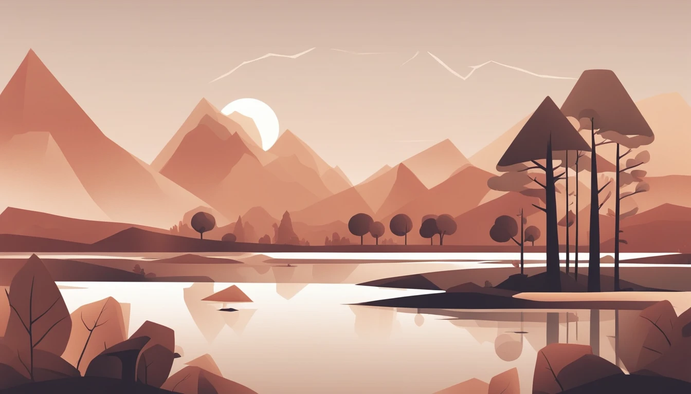
Match rivers to their sources
Trace the world’s great rivers back to where they begin. In this quiz you’ll match each river to its source region, lake, glacier, or mountain range. It’s a mixed-difficulty set that blends famous waterways with trickier regional rivers.
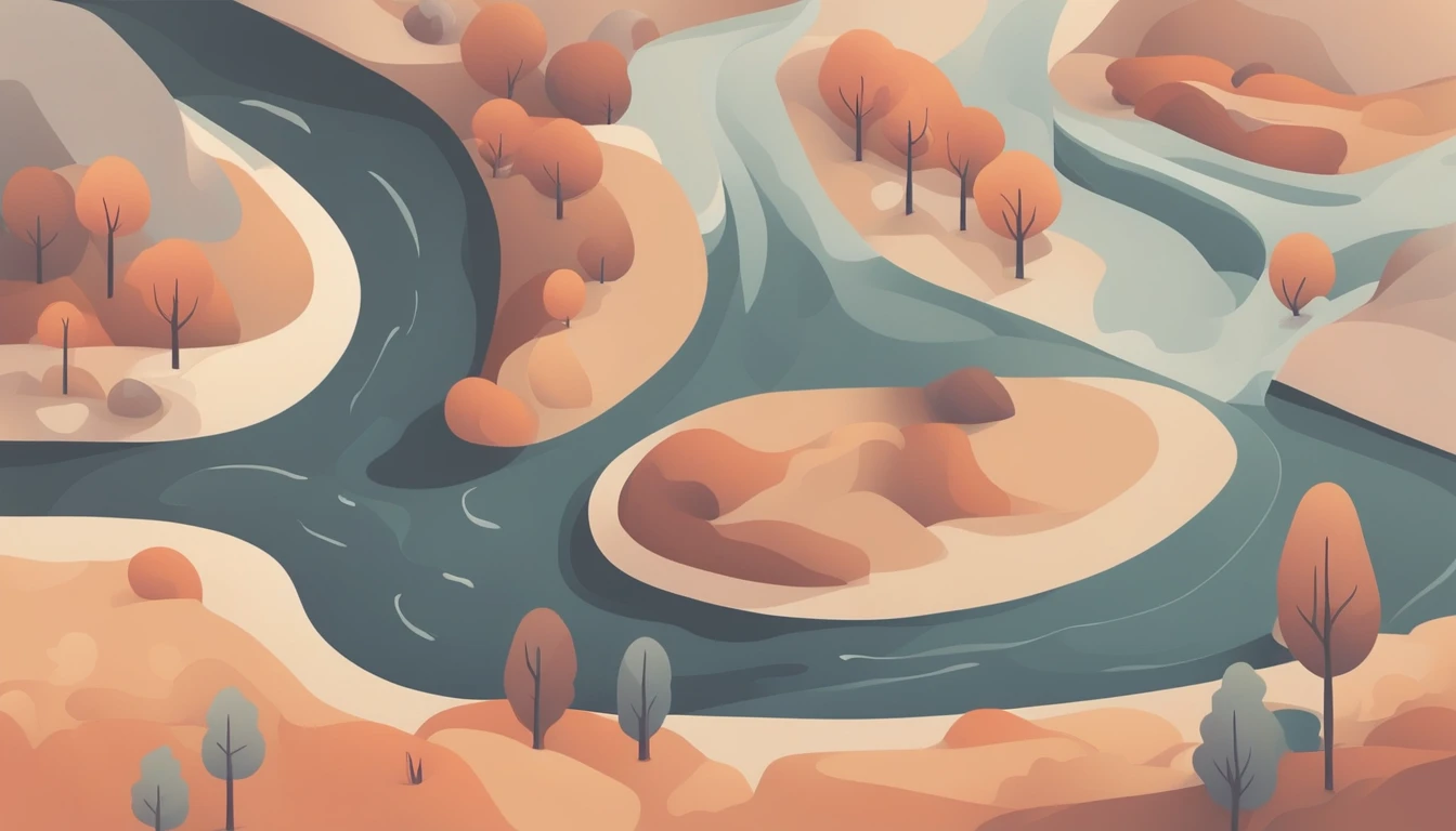
River features: deltas, gorges, and confluences
Trace how rivers shape landscapes in this mixed-difficulty quiz on deltas, gorges, and confluences. Identify key landforms, processes, and map-style clues that explain why rivers look and behave differently from source to mouth. Pick your preferred question count and difficulty, then answer with 4 options per question—no timer.
What you'll find here
- Curated quizzes focused on Rivers
- Difficulty spread from easy to hard
- Randomized questions with instant feedback
- Quizzes you can replay and compare on the leaderboard
Category FAQ
How many quizzes are available?
There are 3 quizzes with 337 questions total.
What topics do the Rivers quizzes cover?
They focus on major rivers, tributaries, sources and mouths, drainage basins, and river-related landforms such as deltas and estuaries.
How are the questions formatted?
Every question has 4 answer options, and there is no timer so you can work at your own pace.
Are there different difficulty levels or quiz lengths?
Yes. The set includes quizzes of varying length and difficulty, from widely known rivers to more detailed regional river systems.
Do I need map skills to do well?
Basic map awareness helps, but many questions include country, region, or mouth/location clues that let you reason your way to the answer.
More to explore
What you’ll practice
Build confidence identifying major rivers by continent, locating sources and mouths, and matching rivers to countries, cities, and landforms like deltas and floodplains.
You’ll also practice river-system vocabulary—tributary, confluence, watershed, and drainage basin—so map facts make more sense.
How the quizzes work
Each question is multiple-choice with 4 options and no timer, so you can focus on accuracy and learning rather than speed. Quizzes vary in length and difficulty, letting you start with well-known rivers and move toward more detailed regional systems.
- Identify rivers on maps and by country/region clues
- Match rivers to seas, gulfs, or oceans where they empty
- Recognize famous tributaries and confluences
- Connect rivers to capitals, major cities, and historic regions
- Review key terms: watershed, delta, meander, estuary
River facts and context
Rivers shape landscapes through erosion and deposition, creating valleys, floodplains, and deltas that often become centers of agriculture and settlement. Many of the world’s largest cities grew along navigable rivers because they supported trade, freshwater access, and transport routes.
Tips for improving your score
Use continent-first thinking (Africa vs. South America, for example), then narrow down by nearby countries or the body of water the river reaches. When two rivers seem similar, look for clues about tributaries, basin size, or the direction of flow.