Maps
Practice reading and interpreting maps with quizzes that cover place location, map symbols, and geographic patterns. You’ll work with common map types and build confidence with directions, scale, and spatial relationships.
Quizzes

Map projections: distortion and best uses
See how different map projections bend the world—and when that distortion is useful. This quiz helps you match projections to real tasks like navigation, thematic mapping, and global comparisons. Expect mixed difficulty questions that build from core concepts to trickier edge cases.
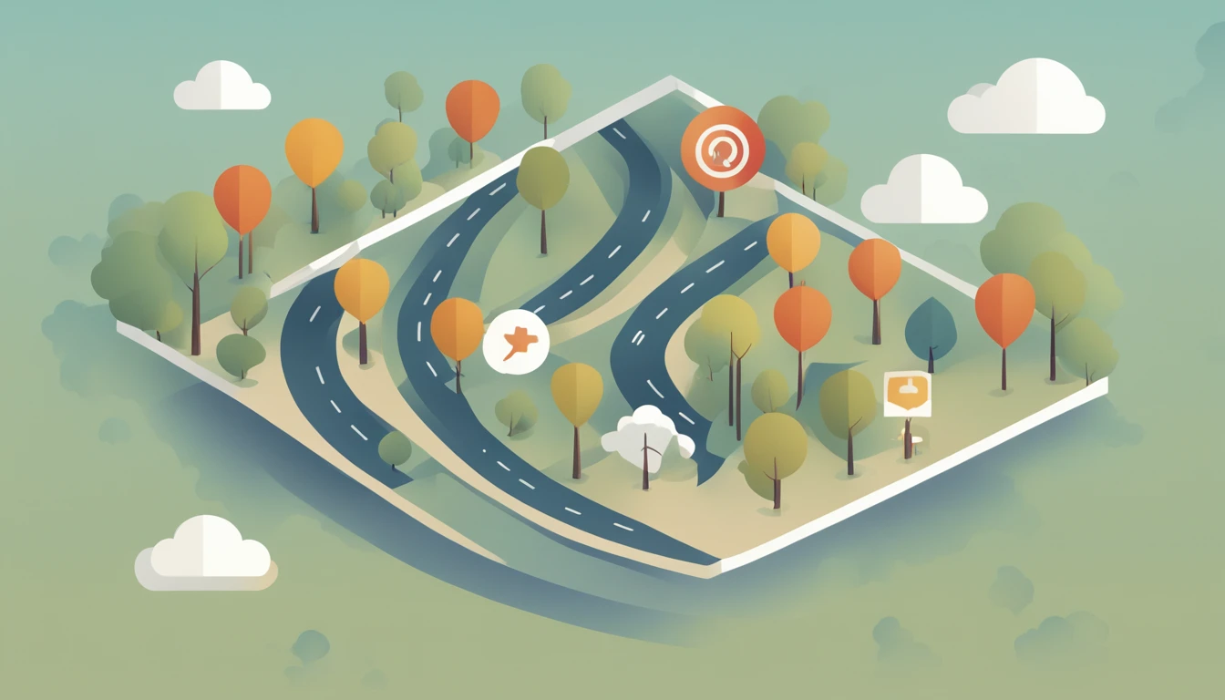
Map symbols: lines, colors, and icons
Learn to read maps faster by mastering the meaning behind lines, colors, and icons. This mixed-difficulty quiz helps you recognize common map symbols across physical and thematic maps, from roads and rivers to land use and boundaries. Pick your preferred question count and difficulty, then practice with 4 options per question and no timer.
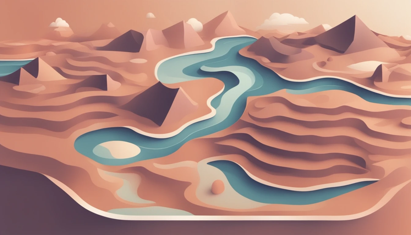
Contour lines: elevation and relief reading
Learn to read terrain from contour lines and spot elevation changes at a glance. This mixed-difficulty maps quiz builds confidence with contour spacing, relief, slopes, ridges, and valleys. Choose how many questions you want and the difficulty level, then answer each item with 4 options and no timer.
What you'll find here
- Curated quizzes focused on Maps
- Difficulty spread from easy to hard
- Randomized questions with instant feedback
- Quizzes you can replay and compare on the leaderboard
Category FAQ
How many quizzes are available?
There are 3 quizzes with 407 questions total.
Do these Maps quizzes have a timer?
No. There is no timer, so you can take your time on each question.
How are the questions formatted?
Each question is multiple-choice with 4 answer options.
What skills will I practice in this category?
You’ll practice map reading, directions, distance/scale awareness, and interpreting symbols and geographic patterns.
Are the quizzes all the same difficulty and length?
No. Quiz length and difficulty vary across the category, so you can pick what fits your practice goal.
More to explore
What you’ll practice with Maps quizzes
These quizzes help you strengthen practical map-reading skills, from locating places to interpreting what a map is showing about distance, direction, and distribution.
You’ll also practice recognizing common map elements like legends, symbols, scale bars, and coordinate references so you can extract information quickly and accurately.
How the quizzes work
Each question has 4 answer options and there’s no timer, so you can focus on careful reading and reasoning rather than speed.
Quizzes vary in length and difficulty across the category, letting you choose a shorter set for quick practice or a longer set for deeper review.
Map context and quick tips
Maps are models of the real world, so every map involves choices—projection, scale, and what to include or leave out—which can change how patterns appear.
- Use the legend first to confirm what colors and symbols mean
- Check the scale to avoid over- or underestimating distances
- Confirm orientation (north arrow) before judging directions
- Look for patterns (clusters, corridors, borders) rather than single points
- Watch for projection distortion when comparing areas across latitudes
- Use coordinates or grid references to pinpoint locations consistently