Related Quizzes
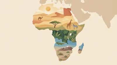
African climate zones and biomes
Explore Africa’s climate zones and biomes, from Sahara deserts to Congo rainforests and highland regions. This mixed-difficulty quiz helps you connect rainfall, temperature, vegetation, and location across the continent. Choose your preferred question count and difficulty, then answer each multiple-choice item at your own pace.

African lakes: rift, crater, and basin
Trace Africa’s great lakes by origin and setting—rift valleys, volcanic craters, and broad basins. You’ll identify where famous waters lie, what formed them, and which rivers connect them. Mixed difficulty keeps it welcoming for beginners while still testing map-savvy players.

Brain lobes and core functions
Map the brain’s major lobes to what they do in everyday thinking and behavior. This mixed-difficulty quiz checks your grasp of frontal, parietal, temporal, and occipital functions, plus key “core” structures. Each question uses 4 options and there’s no timer, so you can focus on accuracy.

Match IPL teams to home grounds
Test your IPL venue knowledge by matching each team to its home ground. With a mixed difficulty set, you’ll see both obvious stadium-team pairings and trickier updates from recent seasons. Pick your preferred question count and difficulty, then play at your own pace with no timer.

Audrey Hepburn: signature style moments
Step into Audrey Hepburn’s most iconic fashion moments, from little black dresses to ballet flats and bold sunglasses. This mixed-difficulty quiz spotlights her signature silhouettes, key films, and the designers who helped define her look. Choose your preferred question count and difficulty, then play at your own pace.
Escape room etiquette and safety rules
Know the unspoken rules of the game before you step into the room. This quiz covers escape room etiquette, safety basics, and smart team behavior—from handling props correctly to what to do in an emergency. Expect a mix of easy reminders and tricky scenarios you might actually face.